












MR-RDG07K Phased Array Radar
X-band AESA phased array radar designed for continuous land and water moving-target detection with high sensitivity, low false alarm rate, and accurate tracking.

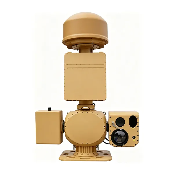
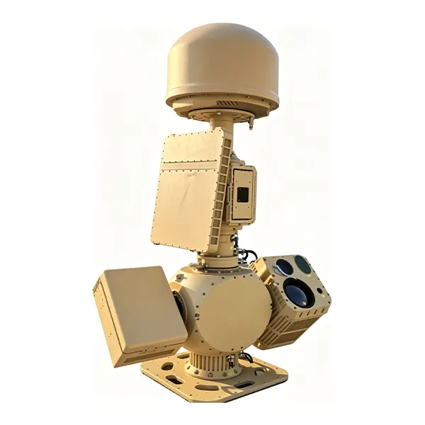
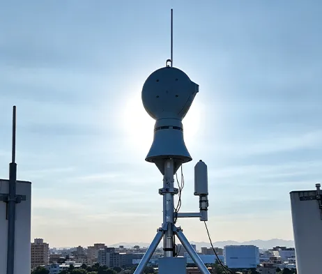
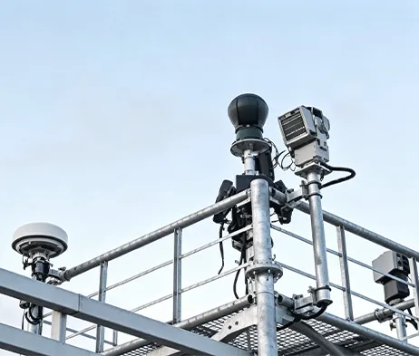
The MR-AUS70-RD05-RF10 Counter-UAV System integrates spectrum detection, radar detection, electro-optical tracking, interference response, navigation signal control, and a low-altitude target prevention, control and identification platform. The system uses spectrum detection and radar detection for target verification, then guides the electro-optical system for detection, tracking and identification. After the target type is confirmed, the system can link the radio interference response subsystem to interrupt UAV remote-control signals and apply navigation signal control, supporting authorized operators in managing low-altitude UAV activities within protected areas.
Get Free QuoteThe MR-AUS70-RD05-RF10 is a medium side-mounted integrated Counter-UAV system designed for low-altitude security protection.
It combines spectrum detection, radar detection, electro-optical tracking, AI target recognition, radio-link interference response, navigation signal control, and centralized platform management.
Compared with the RF05 version, this configuration uses a cooled MCT infrared focal plane array and supports longer spectrum direction-finding range, longer thermal imaging tracking range, and longer navigation spoofing range according to the original specification.
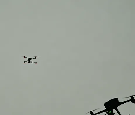
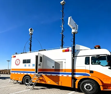
Highly Integrated System Architecture
Integrates spectrum detection, radar detection, electro-optical tracking, interference response, navigation signal control, and platform management into one coordinated system.
Multi-Function Spectrum Detection
Supports UAV signal detection, spectrum feature analysis, positioning analysis, direction finding, and multi-target detection.
Radar Detection Capability
The radar subsystem adopts digital beam forming technology and supports target detection, tracking, and track output.
Cooled Thermal Imaging Configuration
Uses a cooled MCT infrared focal plane array with 640 × 512 resolution and 40–800mm continuous optical zoom lens.
Electro-Optical Tracking
Combines visible-light imaging, infrared thermal imaging, AI recognition, and servo pan-tilt tracking.
Coordinated Response Mechanism
Supports coordinated linkage between detection, tracking, identification, interference response, and navigation signal control modules.
Platform-Based Management
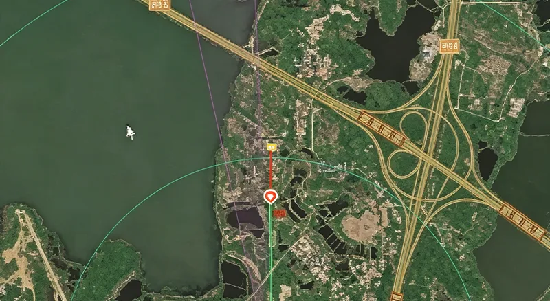
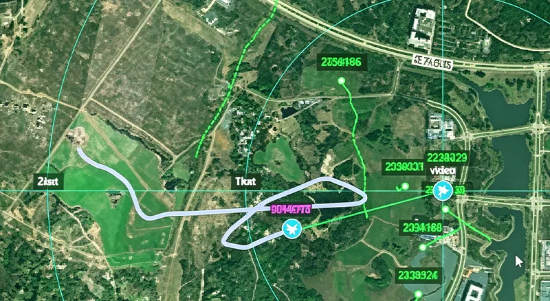
The RGS2000 platform supports centralized control, data fusion display, recording and playback, electronic map display, multi-screen display, and unattended operation.
| Parameter | Specification | Parameter | Specification |
| Model & Working Range | |||
| Model Name | MR-AUS70-RD05-RF10 Counter-UAV System | Typical Target | DJI Phantom 4, DJI Mavic 3 under good weather and electromagnetic conditions |
| Spectrum Direction Finding Range | ≥10 km | Radar Detection Range | ≥5 km |
| Visible-Light Tracking Range | ≥4 km | Thermal Imaging Tracking Range | ≥4 km |
| Interference Range | ≥5 km | Spoofing Range | ≥10 km |
| Spectrum Detection | |||
| Frequency Range | 300 MHz ~ 6000 MHz | Direction Finding Bands | 300 MHz ~ 6000 MHz |
| Technical System | Spectrum features, positioning analysis | Direction Finding Accuracy | ≤5° RMS under standard site conditions |
| Simultaneous Detection Capacity | ≥30 UAVs | ||
| Radar Detection | |||
| Radar Band | X-band | Refresh Rate | 2 s |
| Target Capacity | ≥200 tracks | Close-Range Blind Zone | ≤100 m |
| Azimuth Coverage | 0° ~ 360° | Elevation Coverage | 0° ~ 40° |
| Detection Altitude | ≥800 m | Accuracy RMS | Azimuth ≤0.4°, Elevation ≤0.4°, Range ≤10 m |
| Infrared Thermal Imaging | |||
| Detector | Cooled MCT infrared focal plane array | Resolution | 640 × 512 |
| Lens | 40 ~ 800 mm, 20× continuous optical zoom | Lens Control | Motorized zoom, manual / automatic focus |
| Image Enhancement | SDE digital image detail enhancement technology | ||
| HD Visible-Light Camera | |||
| Sensor | 1/1.8″ starlight CMOS, ICR day/night switching | Resolution | 2688 × 1520 |
| Focal Length | 12.5 ~ 775 mm HD motorized zoom lens | Defog | Supports optical / electronic dual defog |
| AI Tracking | |||
| Implementation | Front-end embedded hardware recognition and tracking | Tracking Mode | Manual tracking, automatic tracking, radar linkage supported |
| Recognition | Supports classification of people, vehicles, vessels, UAVs and birds | Dataset Requirement | Customer assistance required for dataset provision |
| Servo Pan-Tilt | |||
| Structure | Side-mounted, coaxial | Horizontal Range | N × 360° continuous rotation, mechanical lock after power-off |
| Pitch Range | -10° ~ +60°, with software limit, programmable | Rotation Speed | Horizontal 0.01° ~ 100°/s, Pitch 0.01° ~ 70°/s |
| Positioning Speed | Horizontal ≥120°/s, Pitch ≥100°/s | Acceleration | Horizontal 100°/s², Pitch 100°/s² |
| Interference & Spoofing | |||
| Interference Coverage Bands | 300 MHz ~ 6 GHz | Typical Response Bands | 915 MHz / 1.4 GHz / 2.4 GHz / 5.2 GHz / 5.8 GHz |
| Single-Channel Power Amplifier | ≥50 W | Interference Power | Adjustable |
| Navigation Interference Bands | Adaptable to GPS, BD, GLONASS, GALILEO | Navigation Spoofing Bands | GPS-L1, GLONASS-R1, BD-B1, GALILEO-E1 |
| Supported Functions | Directional driving-away, navigation interference, regional no-fly control | Azimuth Coverage | 0° ~ 360° |
| Interference Mode | Directional interference, spoofing | Other Function | Supports simultaneous link interference and navigation interference |
| Power | ≤1200 W | ||
| Overall System | |||
| Network Interface | 1 × 100M / 1000M adaptive Ethernet port | Power Supply | AC220V ±20%, 50Hz |
| System Power Consumption | ≤2000 W | Dimensions | L1300 mm × W600 mm × H2000 mm, reference |
| Total Weight | ≤260 kg | Protection Rating | IP66 |
| Operating Temperature | -40℃ ~ +60℃ | ||
| RGS2000 Platform | |||
| Integrated Control & Display | Centralized control and display of radar, electro-optical, detection and interference systems | Situation Display | Dynamic display of UAV target points, spectrum direction finding and track information; spectrum-radar data fusion display |
| Information Recording | Supports radar, spectrum target tracks and video recording and playback | Auxiliary Tools | Supports distance, area and angle measurement; static calibration azimuth calculation; radar-EO assisted calibration |
| Electronic Map | Supports electronic maps and device coordinate locations; online and offline 2D maps | Multi-Screen Display | Supports split-screen display of video preview, electronic map, video monitoring, video playback and information management |
| Unattended Operation | Supports track data fusion, automatic radar-EO linkage and unattended system operation | ||
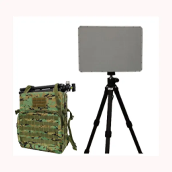
X-band AESA phased array radar designed for continuous land and water moving-target detection with high sensitivity, low false alarm rate, and accurate tracking.
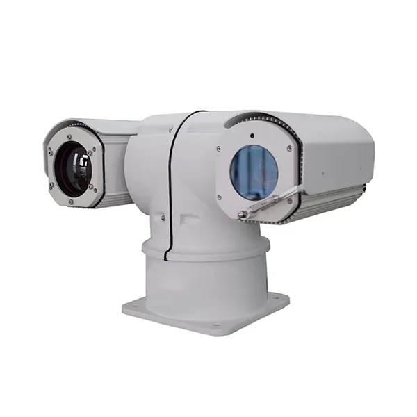
Built for long-range mobile surveillance, this vehicle-mounted thermal imaging camera combines thermal observation, visible-light imaging, intelligent alarms, and high-speed pan-tilt control for demanding outdoor security applications.
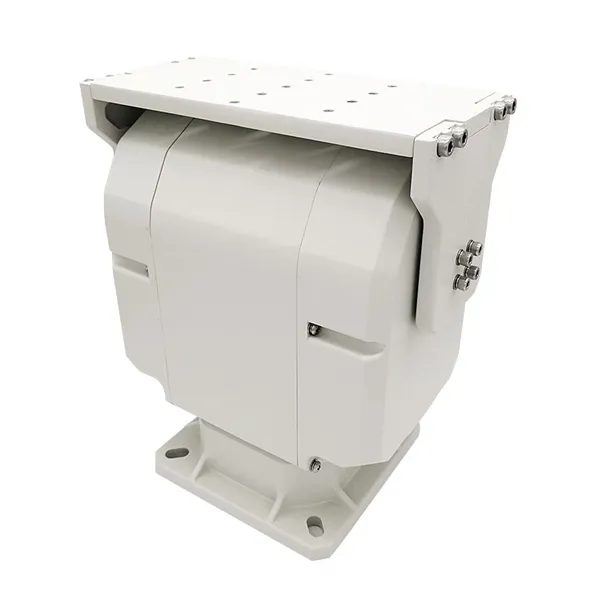
Heavy-duty dual-axis pan tilt designed for intelligent control, stable motion performance, and reliable support for integrated outdoor surveillance and tracking systems.
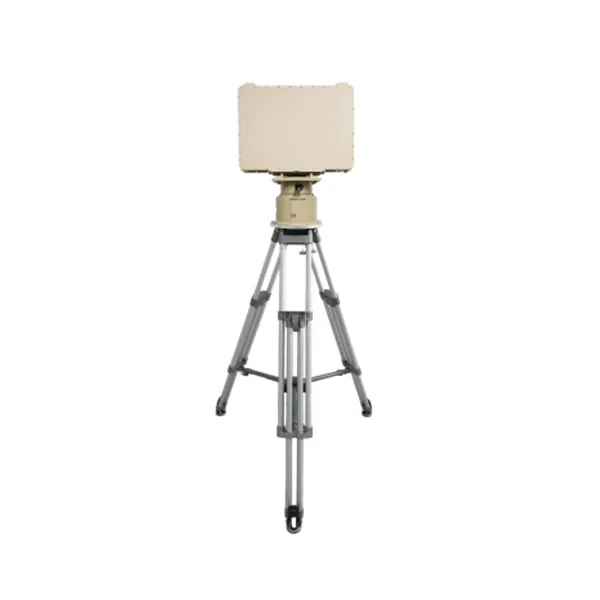
Economical, easy-to-operate bench with pressure gauges and manual control.

Please contact us and we will get back to you as soon as possible.
We will reply you within 24 hours. If for urgent case, please add WhatsApp/WeChat: +86 15954290051,. Or call +86 15964215221 directly.
*We respect your confidentiality and all information are protected.
We will only use your information to respond to your inquiry and will never send unsolicited emails or promotional messages.