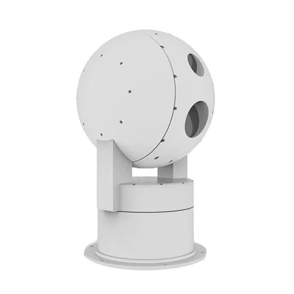
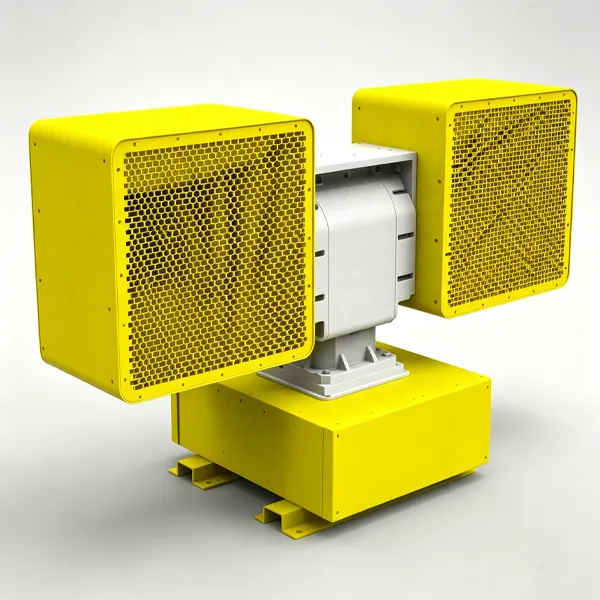
| Parâmetro |
Especificação |
Parâmetro |
Especificação |
| Model & Working Range |
| Nome do Modelo |
MR-RD02SE-DMS15-AU Radar-EO Low-Altitude Detection System |
Typical Target |
0.3 m × 0.3 m UAV target, typical target: DJI Phantom 4 |
| Radar Detection Range |
≥1500 m |
Visible-Light Tracking Range |
≥1500 m |
| Thermal Imaging Tracking Range |
≥800 m |
|
|
| Radar Detection |
| Frequência de Operação |
Banda Ku |
Tecnologia |
Mechanical azimuth scanning, elevation DBF |
| Cobertura de azimute |
360° |
Cobertura de elevação |
0° ~ 40° |
| Target Refresh Rate |
2 s |
Measurement Accuracy |
Azimuth ≤0.4° RMS, Elevation ≤0.4° RMS, Range ≤10 m RMS |
| Zona cega |
≤100 m |
Velocidade de Rotação da Antena |
30 RPM (180°/s) |
| Simultaneous Tracking Capacity |
≥100 tracks |
Radial Velocity Detection Range |
1 ~ 100 m/s |
| Fonte de Alimentação |
DC48V |
Peso |
≤48 kg |
| Câmara HD com Luz Visível |
| Sensor |
Starlight CMOS, ICR day/night switching |
Resolução |
1920 × 1080 |
| Lente |
11 ~ 270 mm HD motorized zoom lens |
Codificação de vídeo |
H.264 / H.265 |
| Melhoria de Imagem |
Wide dynamic range, highlight suppression, 3D digital noise reduction, automatic white balance, etc. |
Desembaçamento |
Optical / electronic dual defog supported |
| Infrared Thermal Imaging |
| Detetor |
Uncooled VOx infrared focal plane array |
Resolução |
640 × 512 |
| Lente |
25 ~ 75 mm, 3× optical zoom lens |
NETD |
≤40 mK |
| Codificação de vídeo |
H.264 / H.265 |
Controle da Lente |
Manual / automatic focus |
| Servo Pan-Tilt |
| Rotation Range |
Horizontal N × 360°, pitch -90° ~ +90°, supports software limit |
Velocidade de Rotação |
Horizontal 0.01° ~ 100°/s, Pitch 0.01° ~ 80°/s |
| Acceleration |
Horizontal 120°/s², Pitch 100°/s² |
Precisão de Posicionamento |
Better than 0.01° |
| Zero Position Setting |
Supports horizontal and pitch zero position setting |
Posições Pré-definidas |
≥2048 |
| Método de Acionamento |
Torque motor direct drive, high-speed start-stop |
|
|
| AI Tracking |
| Implementation |
Front-end embedded hardware recognition and tracking |
Tracking Mode |
Manual tracking, automatic tracking, radar linkage supported |
| Reconhecimento |
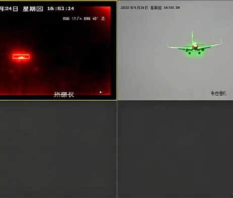
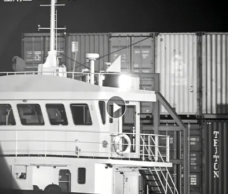
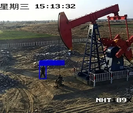
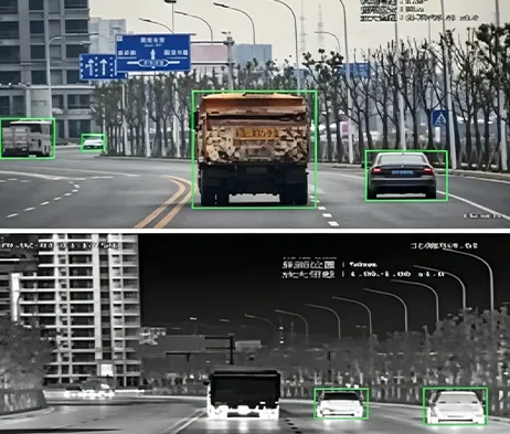
Supports classification of people, vehicles, vessels, UAVs and other targets |
Dataset Requirement |
Customer assistance required for dataset provision |
| Other Module Information |
|
|
|
| Fonte de Alimentação |
DC48V |
Peso |
≤12 kg |
| Overall System |
| Interface |
Ethernet port |
Fonte de Alimentação |
AC220V ±20%, 50Hz or DC48V |
| Consumo de Energia |
Peak ≤600 W, average ≤300 W |
Peso |
≤60 kg, excluding power box |
| Dimensões |
≤L455 mm × W370 mm × H880 mm |
Classificação de Proteção |
IP66 |
| Temperatura de Operação |
-40℃ ~ +60℃ |
|
|
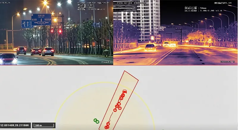
| RGS2000 Low-Altitude Target Prevention, Control and Identification System |
| Integrated Control & Display |
Platform-based centralized control and display of radar and electro-optical systems |
Situation Display |
Dynamic display of UAV target points and track information; supports radar target tracks and synchronized video recording playback |
| Auxiliary Tools |
Supports distance, area and angle measurement; static calibration azimuth calculation; radar-EO assisted calibration |
Electronic Map |
Supports electronic maps and radar-EO coordinate locations; online and offline 2D maps |
| Multi-Screen Display |
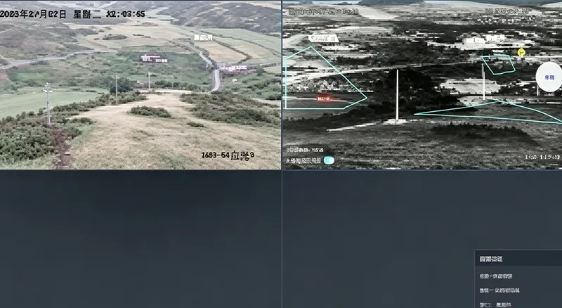
Supports split-screen display of video preview, electronic map, video monitoring, video playback and information management |
Unattended Operation |
Supports radar track data fusion, automatic radar-EO linkage and unattended multi-target operation |