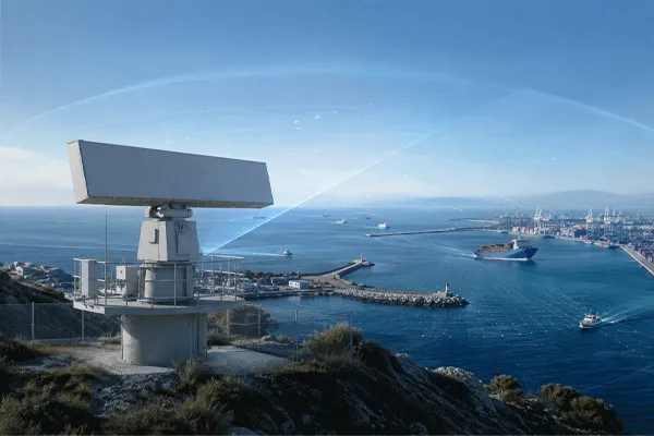
The real problem is not distance—it is visibility.
A mine may fit inside the nominal range of a radar and still contain major surveillance blind zones.
Consider a hypothetical open-pit site measuring approximately 8 km × 5 km. The site contains a deep pit, haul roads, stockpiles, workshops, processing buildings and remote boundaries.
A supplier might look at the dimensions and say: “A radar with several kilometres of range should cover the site.”
That conclusion ignores the most important variable: terrain.
Radar requires visibility to the target. Pit walls, hills, stockpiles and industrial structures can block or distort that visibility. The correct engineering question is therefore: “Where can the radar actually see the targets that matter?”
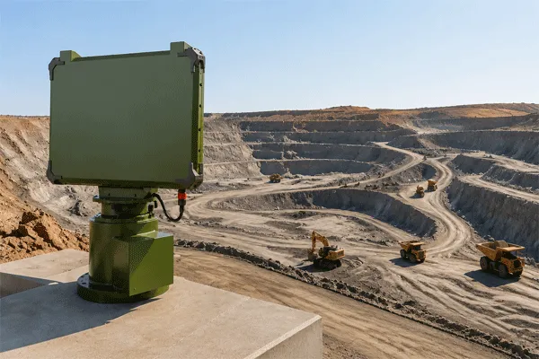
Mine and Quarry Radar Surveillance: Designing Coverage Across Pits, Haul Roads and Large Terrain
Step 1 — Divide the Mine Into Operational Zones
A mine should not be treated as one uniform security area.
| Zone |
Typical Monitoring Need |
| Outer boundary |
Unauthorized entry |
| Haul roads |
Vehicle movement |
| Pit edge |
Personnel/vehicle monitoring |
| Processing area |
Restricted-zone awareness |
| Workshops |
After-hours movement |
| Storage/utility area |
Remote asset protection |
Each zone may require different alarm rules. A haul truck moving at night on an approved road is normal. A light vehicle entering a restricted processing zone at the same time may require operator attention.
Radar value comes from tracking movement in context—not from producing as many alarms as possible.
Step 2 — Model Terrain Before Selecting Quantity
Before deciding whether the site needs one, two or six ground-surveillance radars, the engineering team should combine sensor height, terrain/elevation, target height, obstacles and required overlap.
| Art der Erfassung |
Bedeutung |
| Direct visibility |
Radar has clear line of sight |
| Partial masking |
Target visible only above a certain height |
| Dead ground |
Terrain completely blocks the target |
| Overlap |
Two sensors can see the same region |
This is more useful than drawing a perfect circle around a radar icon.
Step 3 — Treat Haul Roads Differently From Restricted Areas
Mines contain legitimate movement. The radar should therefore support an operating concept based on geographic zones, speed, track direction, time schedules and target class where applicable.
For example, a heavy vehicle travelling along an approved haul road may be displayed without generating a priority alarm. The same track deviating into a restricted zone can trigger an event.
This creates more useful information for the security team.
Step 4 — Radar and EO/IR Should Have Different Jobs
A useful architecture separates detection from verification.
Radar answers: “Where is movement occurring?” EO/IR answers: “What is it?”
A typical workflow is: Radar detects → track is established → zone rule is triggered → PTU/EO/IR is cued → operator verifies → event is recorded.
This approach is particularly useful in mines because a camera operator cannot continuously watch every remote boundary or haul-road intersection.
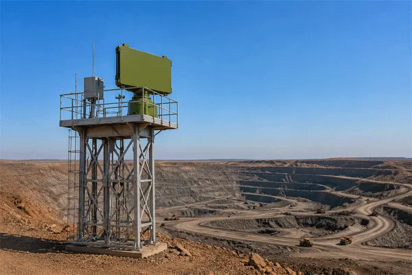
Mine and Quarry Radar Surveillance: Designing Coverage Across Pits, Haul Roads and Large Terrain
Step 5 — Higher Towers Are Not Automatically Better
Increasing radar height may improve visibility across some terrain, but it can also increase tower cost, structural movement, wind load, lightning exposure and maintenance difficulty.
In a complex mine, a second lower radar in the correct location may provide better coverage than one very tall central installation.
Coverage engineering should therefore compare configurations rather than assume maximum height is optimal.
Step 6 — Include the Environment in the Radar Specification
Mining equipment may operate under dust, heat, heavy rain, vibration and strong wind. A radar procurement should therefore examine Radar Environmental Configuration Review Checklist alongside RF specifications.
For exposed sites, enclosure protection, thermal management, cable routing and maintenance intervals become part of the system design. A practical starting point is the Mine Quarry Radar Coverage Assessment Checklist.
Design for Nuisance-Alarm Control, Not Maximum Sensitivity
A mine is a busy industrial environment. Animals, authorized staff, service vehicles, machinery and changing stockpiles can all influence the surveillance picture. The engineering objective is therefore not to maximize sensitivity everywhere. It is to create zone rules, target filters and operating procedures that surface relevant events without overwhelming operators.
During design, the customer and supplier should identify normal movement patterns by time of day. This allows alarm policies to distinguish routine haul-road traffic from boundary crossings, after-hours activity or movement into a restricted process zone. Any classification capability should be treated as an aid and should be validated with representative site targets.
Plan Communications, Power and Maintainability With the Sensor Layout
Remote mine boundaries can be difficult to service. A technically good radar location may be impractical if power, backhaul or safe maintenance access is unavailable. Coverage planning should therefore be performed together with the communications and infrastructure plan, including network topology, available power, UPS requirements, lightning protection, cabinet/environmental design and the expected response time for field maintenance.
For multi-site deployments, health monitoring is important. The maintenance interface should make it possible to distinguish a quiet sector from a failed sensor, lost network link or degraded subsystem.
Use Overlap and Redundancy Deliberately
Overlap is not always wasted coverage. At high-priority zones, overlap can improve continuity when terrain, structures or temporary obstructions affect one sensor. It can also create operational resilience during maintenance. The amount of overlap should be driven by consequence and availability requirements rather than applied uniformly across the entire mine.
From Survey to Design Baseline
A useful mine-surveillance design package should freeze a baseline before procurement: site map, elevation source, target assumptions, sensor coordinates and heights, coverage sectors, expected masked areas, alarm zones, camera locations, network architecture and SAT routes. If the mine layout later changes materially—such as a new stockpile or pit expansion—the coverage model should be revisited rather than assuming the original design remains valid.
A Practical Acceptance Test
Mine SAT should use representative site activity.
| Test |
Beispiel |
| Personnel route |
Walk through boundary and restricted zones |
| Light vehicle |
Pickup along service road |
| Heavy vehicle |
Haul truck on normal route |
| Terrain test |
Target enters and exits masked area |
| Zone test |
Track crosses configurable alarm boundary |
| EO/IR test |
Radar cues camera to tracked target |
| C2 test |
Track and event appear correctly |
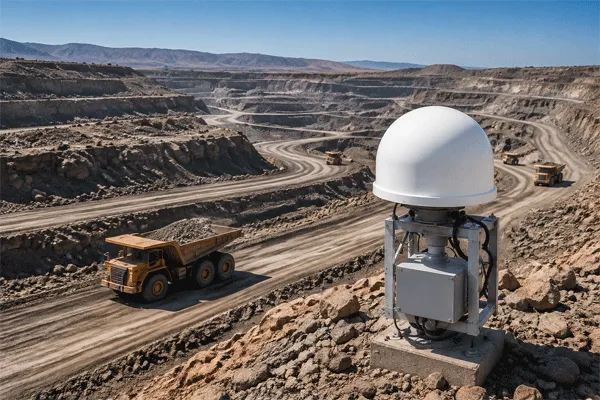
Mine and Quarry Radar Surveillance: Designing Coverage Across Pits, Haul Roads and Large Terrain
The goal is not simply to confirm that a radar echo appears. The goal is to verify that the surveillance workflow works under real operating conditions. For SAT structure, review the Feldtest- und Abnahmeleitfaden.
What the Site Survey Should Produce
A professional mine radar survey should ultimately answer: where to install, how high, how many sensors, which areas remain masked, where overlap is required, and where EO/IR should be placed.
That output is far more actionable than a generic product recommendation.
Häufig gestellte Fragen
Can one radar cover an entire open-pit mine?
Possibly, but site dimensions alone are insufficient. Terrain masking may require multiple sensor positions.
Can radar replace all cameras?
Usually no. Radar and cameras solve different problems and are often more effective when integrated.
Should mines prioritize range or terrain coverage?
Both matter, but terrain visibility often becomes the limiting factor in complex sites.



 08:54
08:54