Sécurité des frontières

Systèmes de sécurité et de surveillance des frontières

Surveillance automatisée des frontières terrestres et maritimes 24 heures sur 24 et 7 jours sur 7

Midradar provides integrated border security and surveillance systems for land borders, coastal frontiers, remote checkpoints, border outposts and critical border infrastructure.

Why Border Security Needs Multi-Layer Surveillance

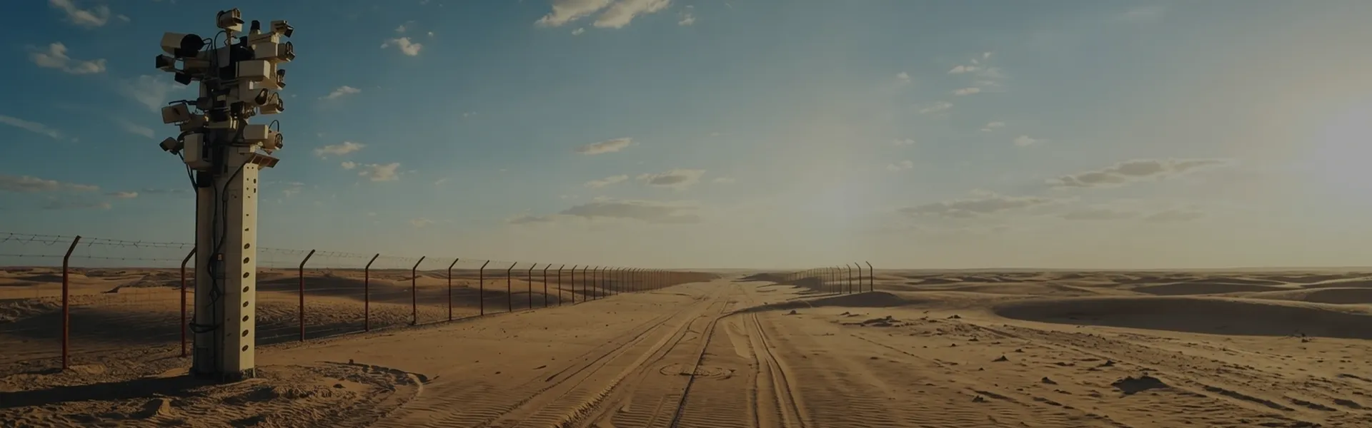
National borders often extend across deserts, mountains, forests, rivers, coastlines and remote open areas. These environments make continuous manual patrol difficult, expensive and incomplete. A radar-based border surveillance system helps security teams detect movement earlier, verify targets faster and dispatch patrol teams with more accurate location information.

  • Large-Area Coverage

    Border zones may cover long distances. A single camera cannot monitor an entire border section, while patrol teams may not reach every location in time. Long-range surveillance radar provides wide-area detection and helps operators focus on real events.

  • Low Visibility and Night Operation

    Darkness, fog, dust, smoke, rain and strong backlight can reduce the effectiveness of visible-light cameras. Radar, thermal imaging and laser night vision help maintain situational awareness in difficult visibility conditions

  • Complex Target Types

    Border threats may include walking personnel, vehicles, small boats, suspicious gatherings and low-altitude drones. A border security system should support multi-target tracking, visual confirmation and event recording.

  • Difficult Terrain

    Mountains, valleys, vegetation, buildings and coastline curves can create blind zones. Effective deployment requires radar coverage planning, elevated installation points and overlapping sensor fields.

Operational Workflow

For UAV-related alarms, the workflow can add RF detection, UAV type recognition where supported, EO/IR confirmation and authorized response control.

  • 01
    Solution

    Step 1 — Radar Detection

    Radar detects a moving target.

  • 02
    Solution

    Step 2 — Target Calculation

    The system calculates target position, speed and trajectory.

  • 03
    Solution

    Step 3 — GIS Display

    GIS platform displays the target track and alarm zone.

  • 04
    Solution

    Step 4 — EO/IR Auto-Cueing

    EO/IR PTZ camera auto-cues to the target position.

  • 05
    Solution

    Step 5 — Visual Verification

    Operator verifies the target using visible, thermal or laser night vision imagery.

  • 06
    Solution

    Step 6 — Evidence Recording

    Confirmed events are stored with snapshot, video and target track.

  • 07
    Solution

    Step 7 — Patrol Dispatch

    Command center dispatches patrol or response team.

  • 08
    Solution

    Step 8 — Event Closure

    The event is closed with a handling record

Sécurité des frontières

Complete Border Security System Architecture

Midradar Border Security integrates front-end sensors, communication networks, command software and response equipment into one coordinated border surveillance system.

Long-Range Ground and Coastal Radar

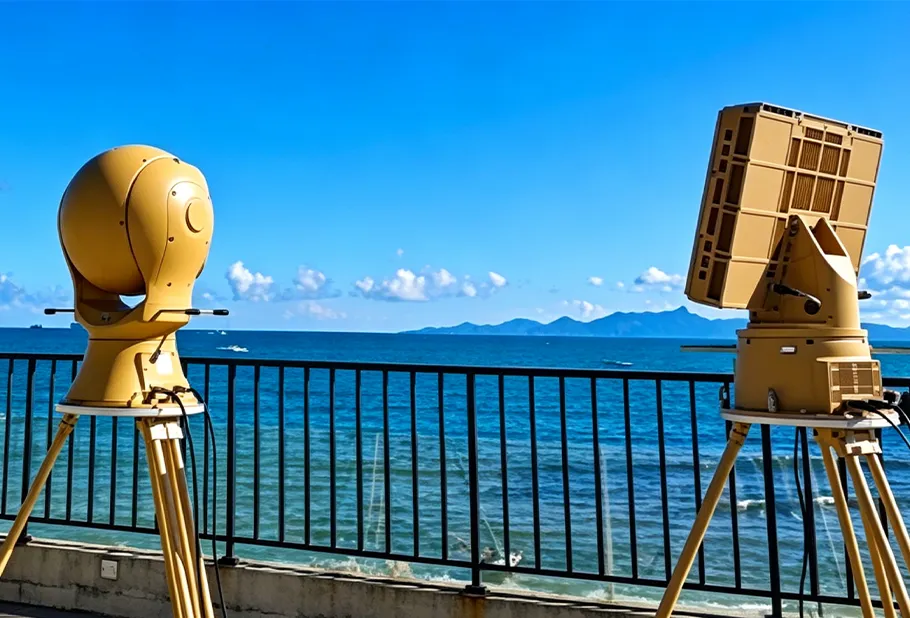
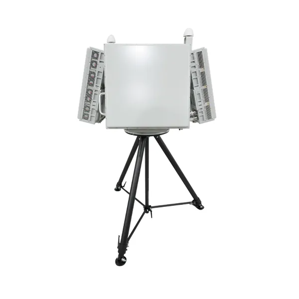
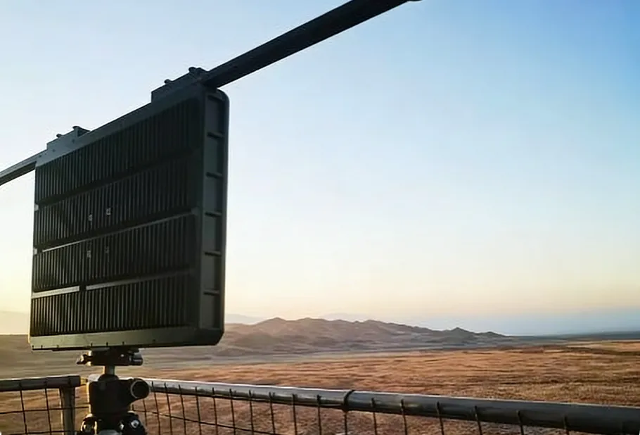
Ground surveillance radar detects moving targets such as personnel, vehicles and surface vessels. It can output target distance, azimuth, speed, trajectory and track ID, allowing operators to view target movement on the command platform. For land borders, radar is suitable for open plains, desert edges, fence lines, border roads and checkpoints. For coastal borders, surface surveillance radar can support shoreline, harbor entrance and small vessel monitoring.

Low-Altitude Security Workflow

EO/IR Camera Verification

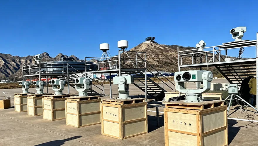
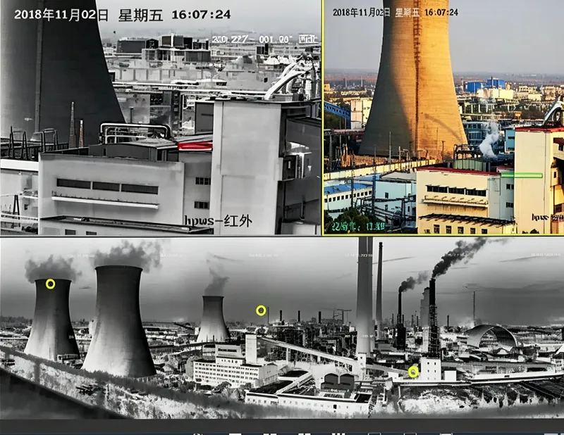
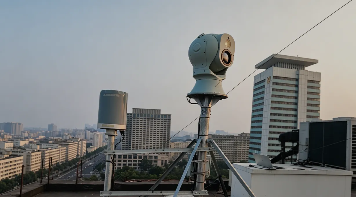
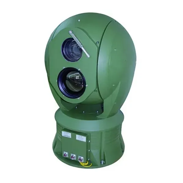
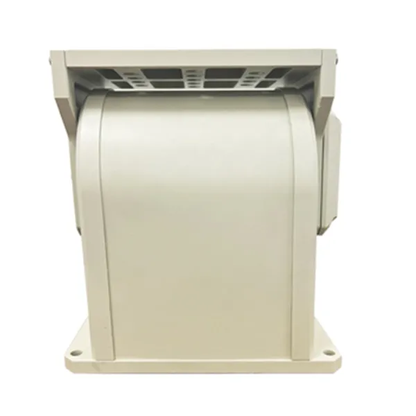
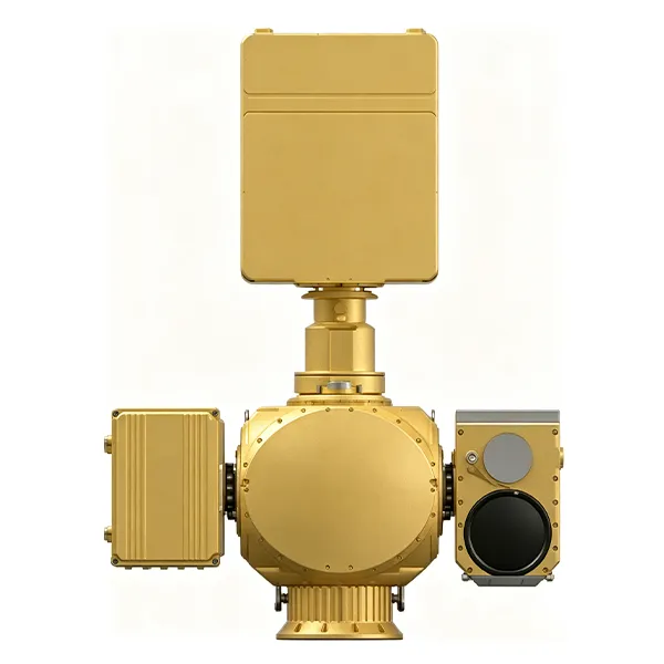
EO/IR cameras provide visible-light and infrared verification after radar detects a target. Radar data can automatically cue a PTZ camera to the target position, reducing manual search time. Visible-light imaging supports detail recognition in daytime. Thermal imaging supports night monitoring and low-visibility observation. Laser night vision can be used for selected long-range observation scenarios where appropriate.

Electro-Optical Tracking System

Long-Range Observation and Night Vision

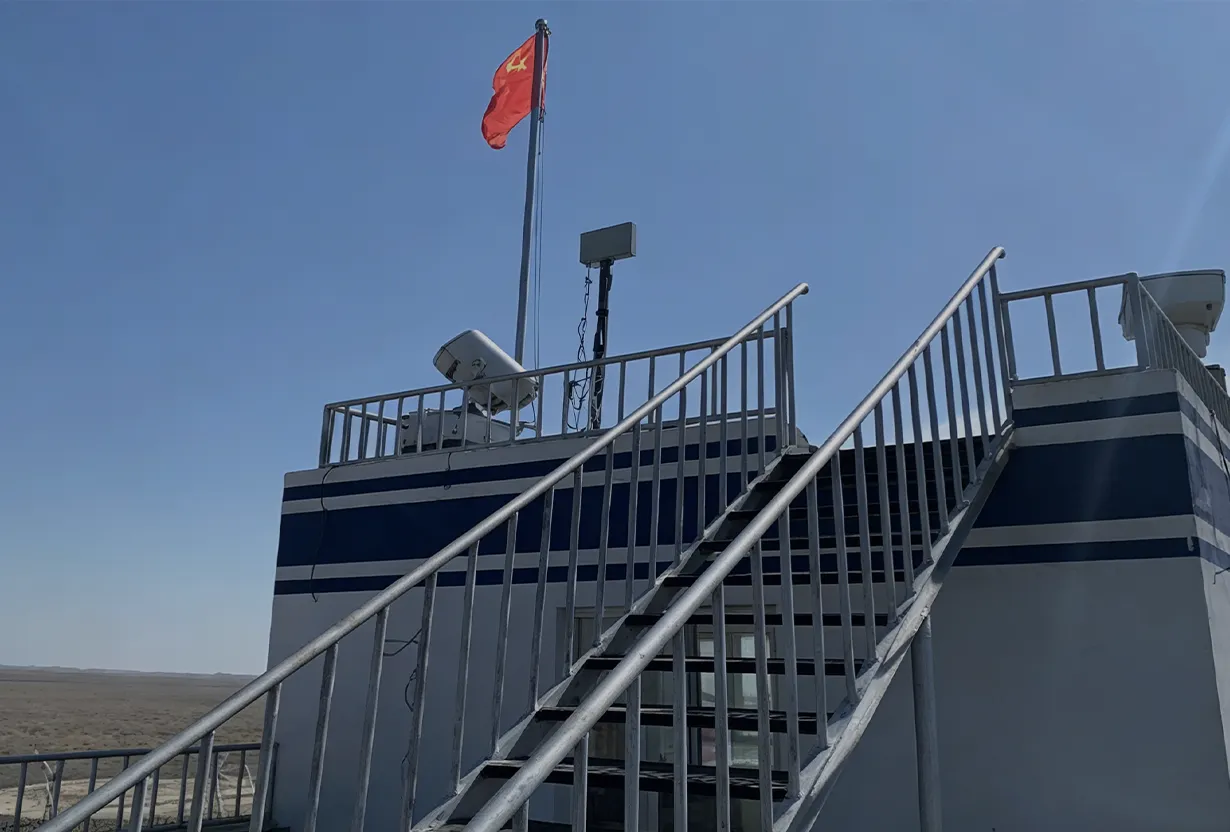
For high watchtowers, hilltop posts and elevated checkpoints, long-range observation systems provide both wide-area monitoring and target close-up viewing. Typical configurations may include high-definition visible-light cameras, infrared thermal cameras, laser night vision, PTZ preset patrol, haze penetration, automatic tracking and GIS-linked pan-tilt positioning.

Alarm Evidence Recording

Counter-UAV Detection and Verification

Low-altitude drones may be used for illegal reconnaissance, smuggling observation or border probing. Midradar border security systems can integrate low-altitude radar, RF detection and EO/IR verification for UAV awareness. Compliance note: Counter-UAV detection and response functions must be configured according to local laws, radio-frequency regulations and customer authorization. Any active countermeasure should be used only by approved operators under approved operating procedures.

Major Event Perimeter Deployment

GIS Command and Control Platform

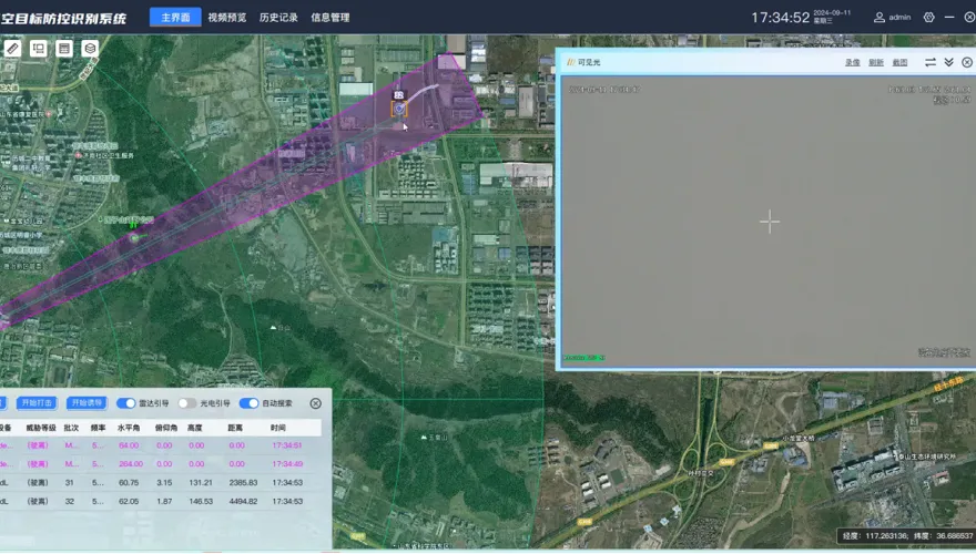
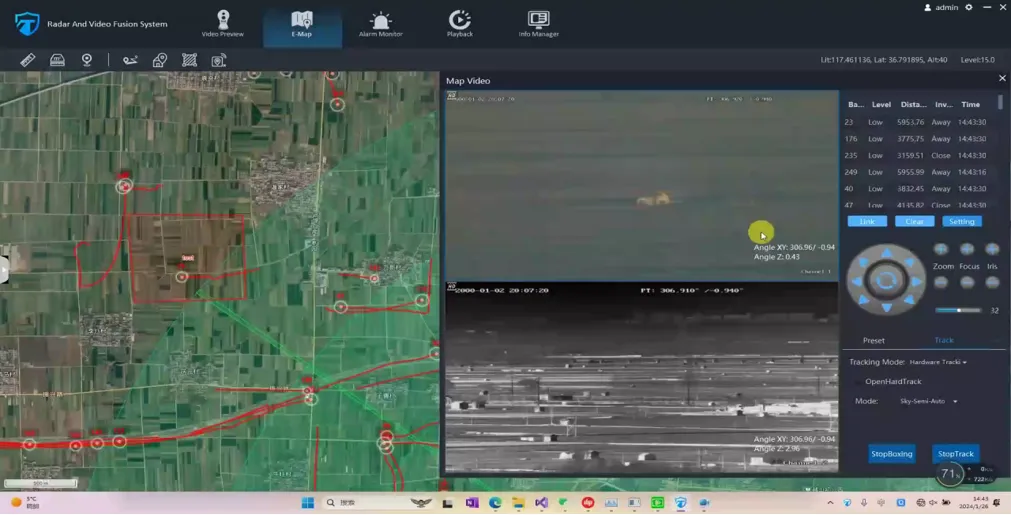
The GIS command platform connects radar tracks, camera video, thermal images, UAV alerts, alarm rules and patrol response into one interface. The platform can support GIS map display, target trajectory visualization, radar-camera linkage, virtual fence rules, video preview, recording, playback, alarm snapshots, event records, device health monitoring and multi-level user permissions.

Event Logging & After-Action Review Layer

Fixed, Vehicle-Mounted and Portable Deployment

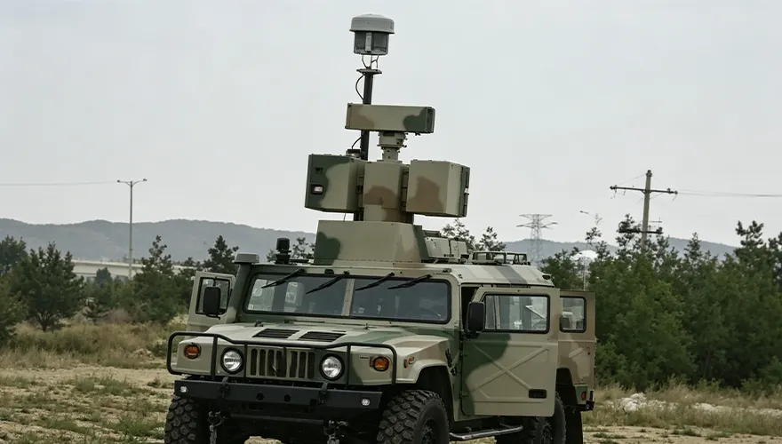
Border protection should combine fixed stations and mobile patrol equipment. Fixed stations provide continuous coverage at key locations, while vehicle-mounted and portable systems reinforce temporary blind zones, patrol routes and special operations.

Radar-Optical Electronic Sentinel

Long-Range Ground and Coastal Radar

EO/IR Camera Verification

Long-Range Observation and Night Vision

Counter-UAV Detection and Verification

GIS Command and Control Platform

Fixed, Vehicle-Mounted and Portable Deployment

Why Choose Midradar for Border Security

In-House Radar Development
AESA, DBF and MIMO Technology Foundation
Radar-Guided EO/IR Verification
Open Integration Capability
Global Project and Support Indicators
Field-Oriented Deployment Design

In-House Radar Development

Midradar’s radar systems are built around long-term independent radar development. Key components such as TR modules, microwave frequency synthesizers, signal processors, GMTI algorithms and display control software are designed and manufactured in-house. For border security projects, this means the radar layer is not a simple third-party add-on. It is part of the core system architecture and can be matched with EO/IR cameras, command platforms and project-specific deployment requirements.

AESA, DBF and MIMO Technology Foundation

Midradar’s technology architecture is based on AESA active phased array hardware, DBF digital beamforming and MIMO multi-channel transceiving. These technologies support wide-area detection, target tracking and multi-sensor fusion in demanding surveillance environments. For land and coastal borders, this helps the system maintain continuous target awareness across large areas and supports radar-guided visual verification.

Radar-Guided EO/IR Verification

Midradar supports radar-to-EO/IR linkage. Radar provides wide-area target detection and positioning, while EO/IR cameras provide visible and thermal verification. This helps operators move from “alarm detected” to “target verified” faster, especially in large open areas where manual camera searching is inefficient.

Open Integration Capability

The system can support standard video and platform integration methods such as GB/T 28181, ONVIF, RTSP, RESTful APIs and SDKs where project architecture allows. This helps customers connect border surveillance data with VMS, PSIM, command centers or third-party security platforms.

Global Project and Support Indicators

Midradar has supported projects in 50+ countries, holds 80+ patents and software copyrights, and carries ISO 9001 and CE certifications. For government, defense or critical infrastructure buyers, reference project information and certification documents can be provided when permitted by contract and confidentiality requirements.

Field-Oriented Deployment Design

Border projects require more than product selection. Midradar can support site survey, radar coverage planning, EO/IR field-of-view design, installation calibration, operator training and acceptance testing.

In-House Radar Development
AESA, DBF and MIMO Technology Foundation
Radar-Guided EO/IR Verification
Open Integration Capability
Global Project and Support Indicators
Field-Oriented Deployment Design

Recommended Border Deployment Model

Protection du périmètre

Core Border Post

A core border post is used for high-priority areas requiring long-range radar detection, EO/IR verification, thermal imaging, night vision, UAV detection, GIS platform access, and secure connection to the command center. Counter-UAV response equipment should only be included when legally approved.

Standard Watchtower or Outpost

Standard Watchtower or Outpost

A standard watchtower or outpost combines medium-range radar or fixed sensors with EO/IR cameras, thermal or low-light imaging, local alarms, and remote platform connection. It balances coverage, cost, and daily operation.

Mobile Patrol Unit

Mobile Patrol Unit

A mobile patrol unit supports temporary blind-zone inspection, emergency reinforcement, and patrol route monitoring through vehicle-mounted equipment, portable UAV detection devices, handheld terminals, EO/IR observation devices, and mobile command access.

sensing, identification, early warning, and recording

Command Center

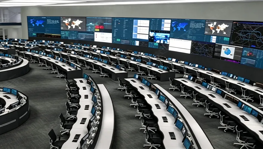
The command center integrates GIS maps, radar tracks, video walls, alarm management, patrol dispatch, playback, device status monitoring, user permissions, reports, and operation logs for centralized border surveillance management.

  • Core Border Post
  • Standard Watchtower or Outpost
  • Mobile Patrol Unit
  • Command Center

FAQ

  • What is a border security surveillance system?

    A border security surveillance system is an integrated monitoring solution that uses radar, EO/IR cameras, thermal imaging, GIS software and communication networks to detect, track, verify and record suspicious movement along land or coastal borders.

  • Why is radar useful for border security?

    Radar is useful for border security because it can detect moving targets over large areas and provide distance, azimuth, speed and trajectory data. This helps operators locate targets before visual confirmation.

  • Can the system work at night?

    Yes. Radar does not rely on visible light, and EO/IR systems can combine thermal imaging, low-light cameras and laser night vision to support night-time monitoring.

  • Can the system detect drones?

    Yes. When equipped with low-altitude radar, RF detection and EO/IR verification, the system can support drone detection and identification near border posts or restricted zones. Counter-UAV response functions must follow local laws, spectrum regulations and customer authorization.

  • Does the system replace border patrol teams?

    No. The system supports border patrol teams by providing earlier detection, target location, video verification and event records. Human response and operational procedures remain essential.

  • How long does installation and commissioning usually take?

    Installation and commissioning time depends on border length, number of sites, civil works, power supply, network conditions and acceptance requirements. A small checkpoint project may be completed faster, while long border sections usually require phased deployment and testing.

  • Does Midradar provide training and after-sales support?

    Yes. Midradar can provide operator training, system configuration support, maintenance guidance and remote technical support according to the project scope.

  • Can the system integrate with third-party VMS or PSIM platforms?

    Yes. Integration can be supported where project architecture allows. Typical integration methods may include standard video protocols, API, SDK or platform-level data exchange.

  • What should be checked before deployment?

    A deployment should begin with site survey, terrain analysis, radar coverage planning, camera field-of-view design, network planning, power availability, blind-zone analysis and site acceptance testing.

  • Are export compliance or certification documents available?

    Midradar can provide relevant product certificates, test reports and technical documentation according to project requirements. Export compliance review depends on product model, destination country and end-use declaration. Contact us to discuss your specific requirements.

Build a Smarter Border Surveillance Network with Midradar

Request a site survey to receive radar coverage suggestions, EO/IR camera placement recommendations, counter-UAV integration options and GIS command platform configuration for your land border, coastal border, frontier checkpoint or military outpost.

Request a Site Survey


    Obtenir un devis

      Nous vous répondrons dans les 24 heures. En cas d'urgence, veuillez ajouter WhatsApp/WeChat : +86 15954290051,. Ou appelez directement +86 15964215221.

      *Nous respectons votre confidentialité et toutes les informations sont protégées.

      Nous n'utiliserons vos informations que pour répondre à votre demande et n'enverrons jamais de courriels non sollicités ou de messages promotionnels.